


Integrated development
A settlement that services itself. — Integrated off-grid development applies the volumetric precast system at precinct scale — homes, townhouses, apartments and a mixed-use centre laid out around the infrastructure that supports them. Water treatment, solar generation and urban agriculture are planned as part of the layout, not appended to it.
Integrated off-grid development applies the volumetric precast system at precinct scale — homes, townhouses, apartments and a mixed-use centre laid out around the infrastructure that supports them. Water treatment, solar generation and urban agriculture are planned as part of the layout, not appended to it.
- Scale
- Precinct — 10 planned zones
- System
- One volumetric precast family
- Servicing
- On-site water, energy and food
01The masterplan
One layout, read three ways.
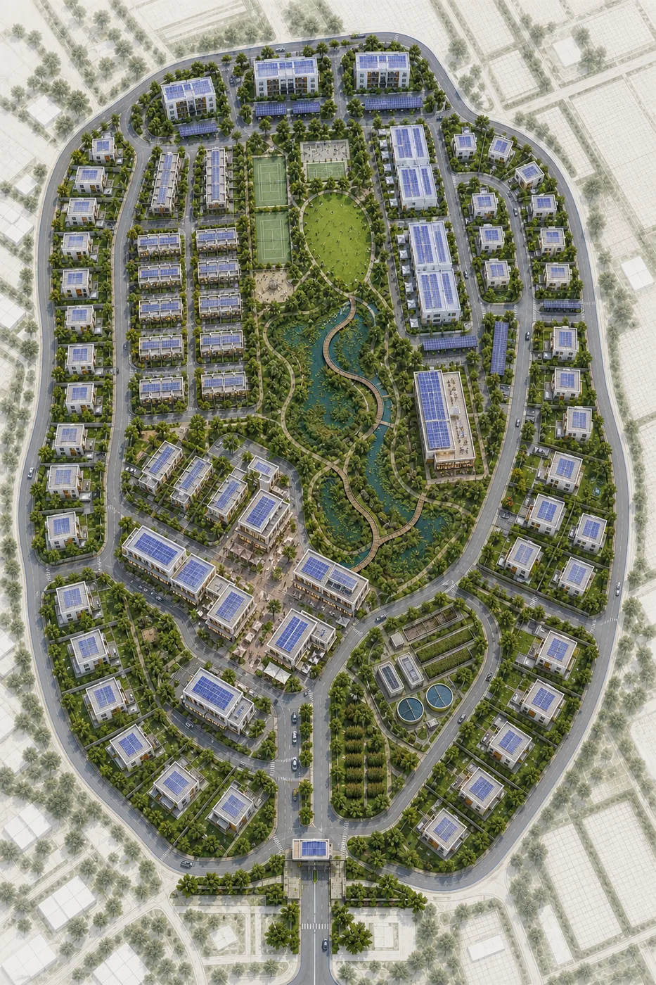
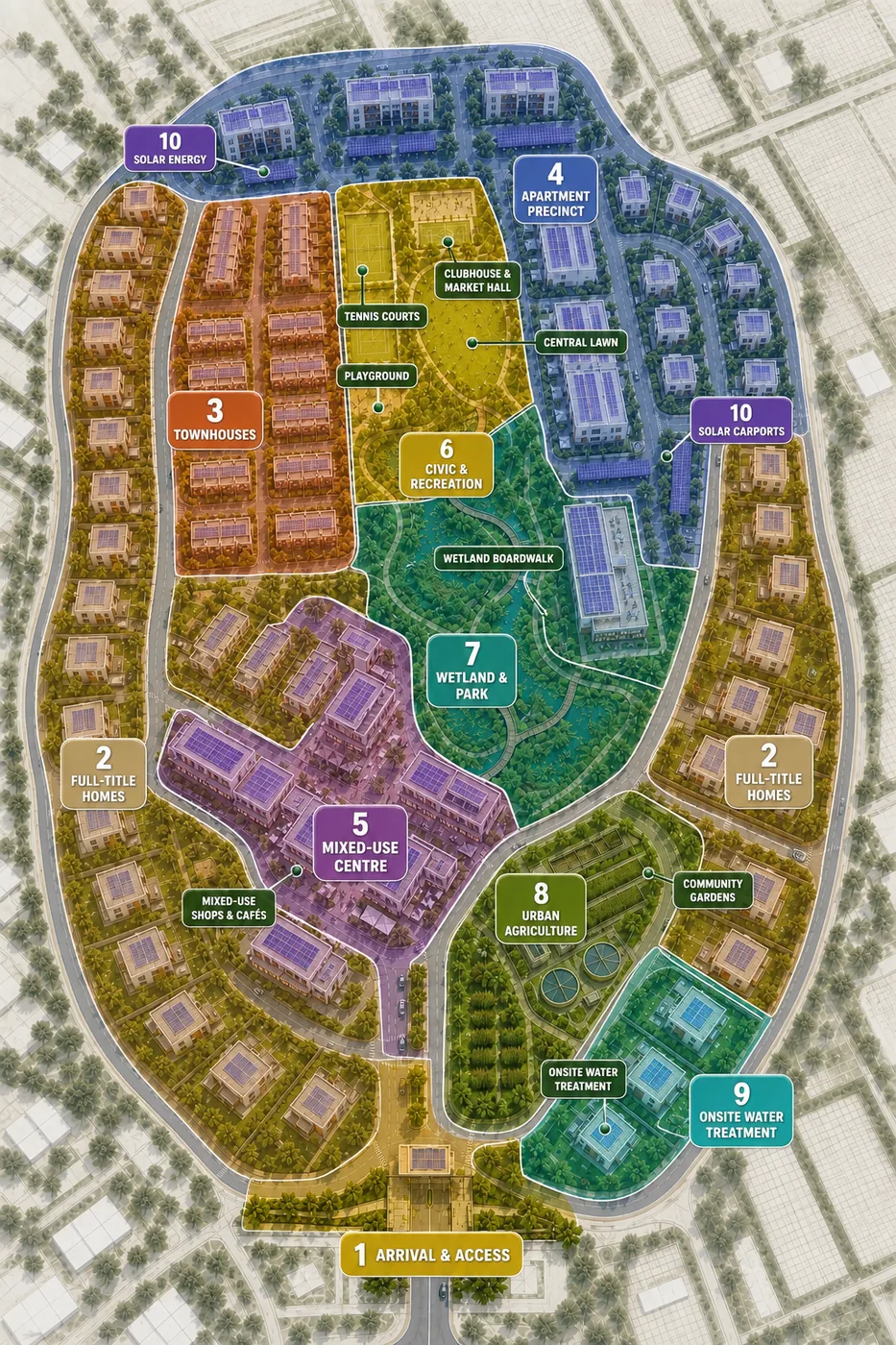
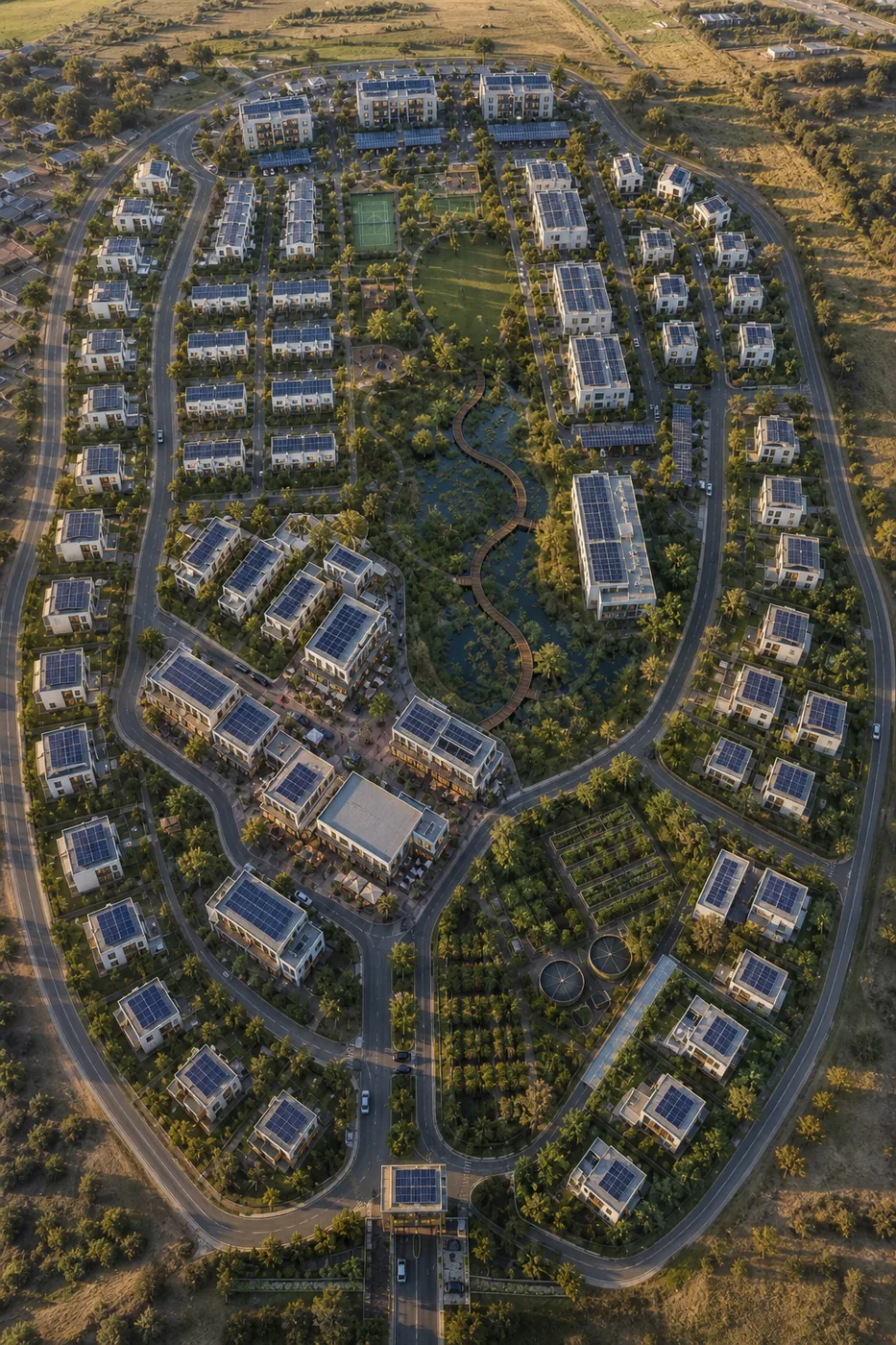
The same masterplan resolved from arrangement to zoning to a photoreal study. Each state is drawn on the identical footprint, so the zoning boundaries and the buildings they describe sit exactly where they will be built.
01The arrangement
Perimeter road, a central green spine and buildings placed to face it. Density steps down from the apartment precinct in the north to full-title homes on the outer edge.
Conceptual layout. Zone areas, unit counts and servicing capacities are set per site against its own land, bulk-services and planning conditions.
02Zone concepts
Ten zones, each with a job to do.
Every zone in the masterplan is worked up as its own concept — what it contains, how it is reached and what it contributes to the precinct around it.
03Resource flows
Outputs from one system are inputs to the next.
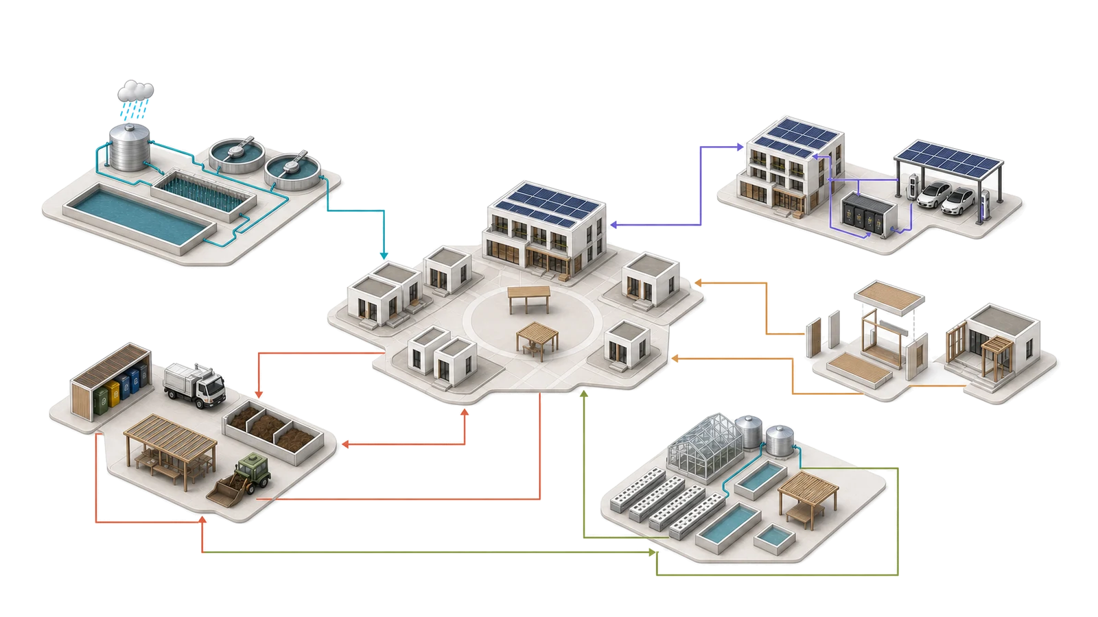
The servicing zones are planned as a loop rather than a set of separate utilities. Treated water returns to irrigation, organic waste returns to the soil that grows food, and generation sits on the roofs it serves.
Indicative flows. The servicing strategy for any given scheme is set by its own yield, demand and consent conditions.
- Water — Harvesting & treatment
- Rainwater and greywater are captured, settled and treated on site. Treated flow is held for irrigation rather than discharged, which is what lets the agricultural zone run through a dry season. Treated water → agriculture.
- Energy — Generation & mobility
- Photovoltaics sit on the roofs and carports they serve, with storage and vehicle charging in the same precinct. Generation is placed on built surfaces, not on land that could carry housing or food. Power → community.
- Community — The residential core
- The homes and shared ground every other system exists to serve. It is the demand centre of the diagram — the point every flow either feeds or draws from. Demand centre.
- Manufacturing — Volumetric modules
- The same precast room modules used across every building model, delivered finished and craned into place. One product family supplies the whole precinct. Modules → community.
- Waste — Separation & recovery
- Waste is separated at source, with organic fractions composted on site. What leaves the development is the residual only; the rest is returned to the soil that grows food. Compost → agriculture.
- Agriculture — Food production
- Greenhouses, raised beds and orchards taking treated water from one end of the loop and compost from the other. The output returns to the community that produced both. Produce → community.
04Sustainable community
Five systems the precinct is planned around.
Water, energy, living, waste and agriculture — the five strands that decide whether a development can carry itself once the contractor leaves site.
05The development
The precinct at eye level.
Photoreal studies of each zone as it would be experienced from the ground — the approach, the streets, the centre and the landscape between them.
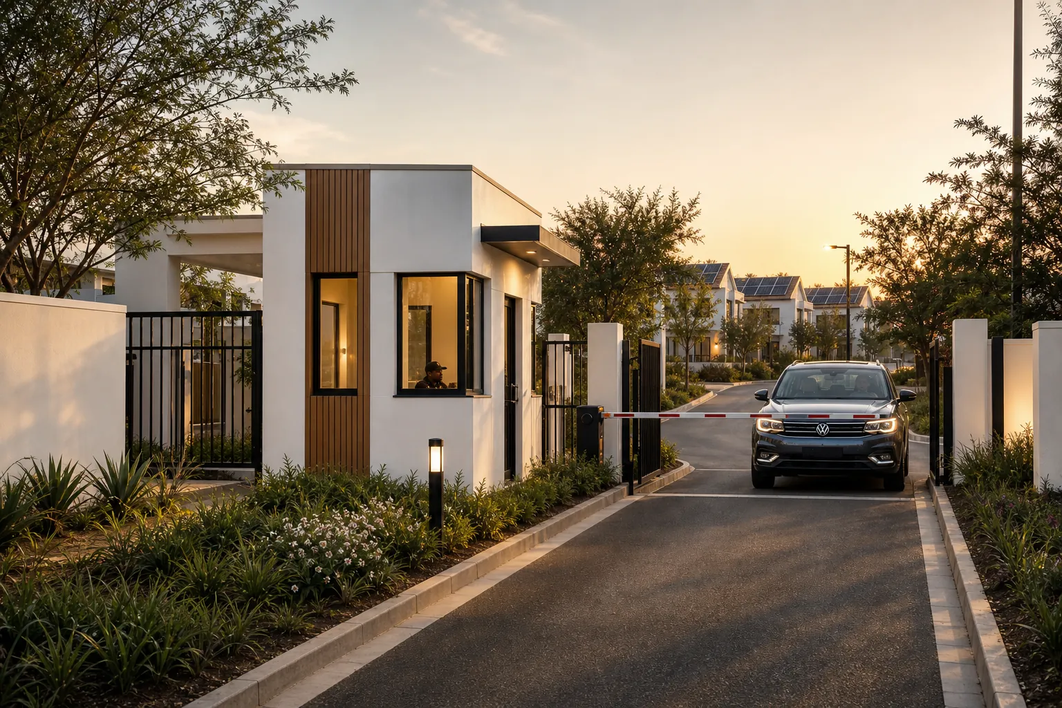
01Arrival & gatehouse
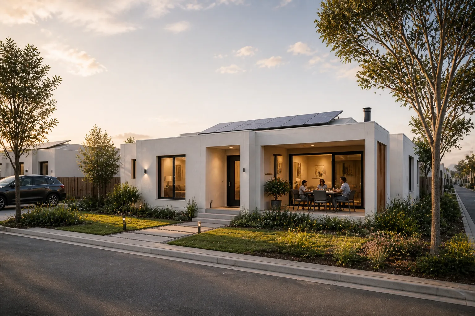
02Full-title homes
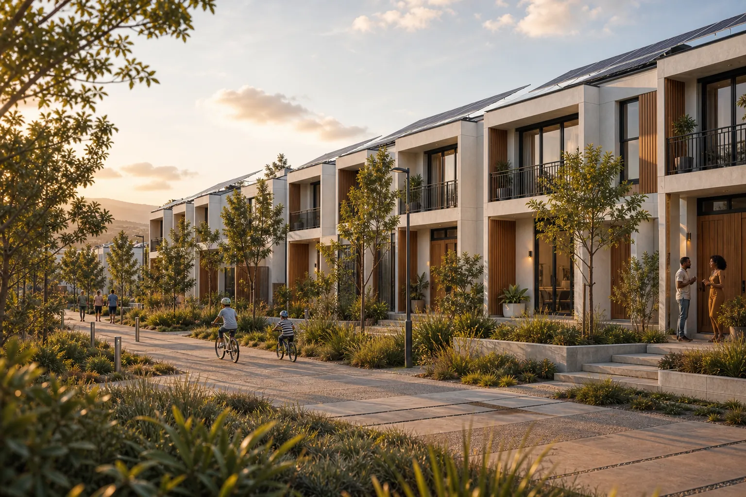
03Townhouse precinct
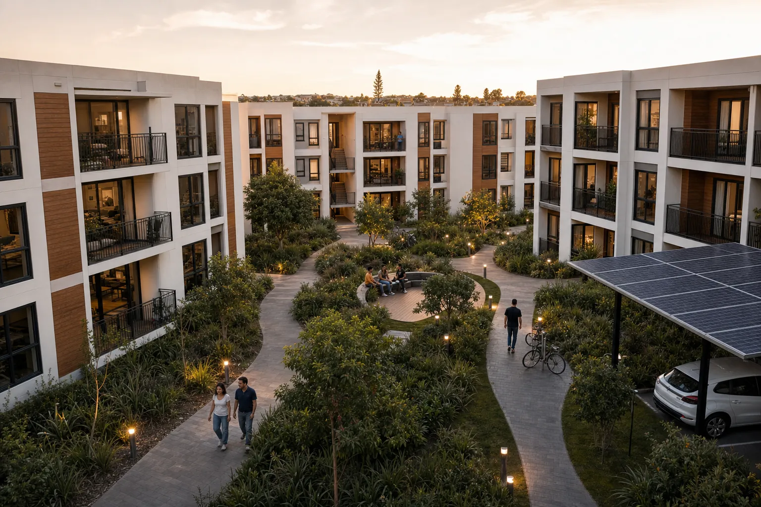
04Apartment precinct
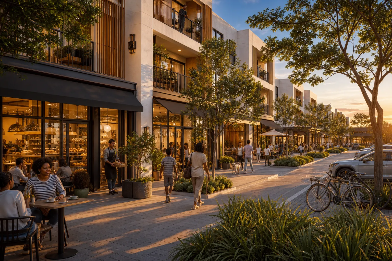
05Mixed-use centre
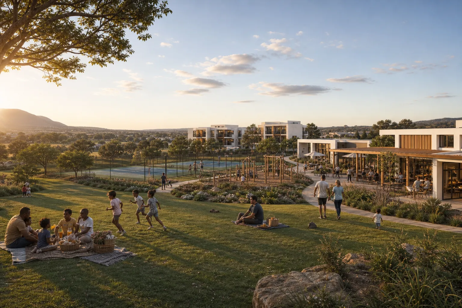
06Civic & recreation
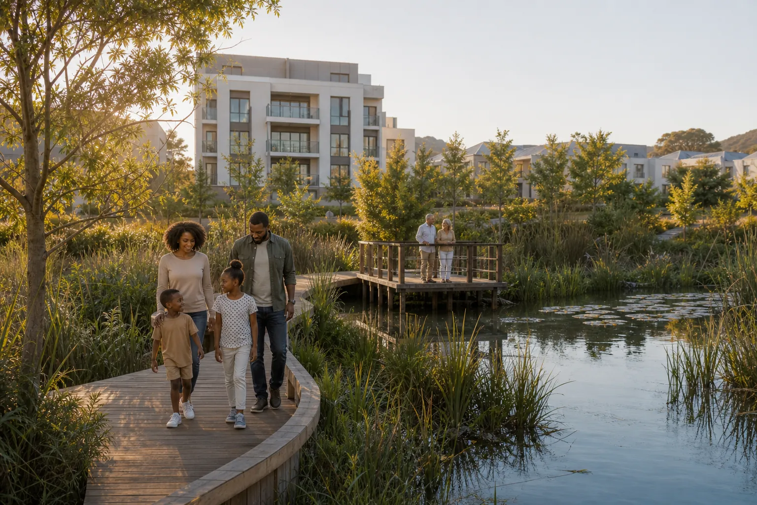
07Wetland boardwalk
08Urban agriculture
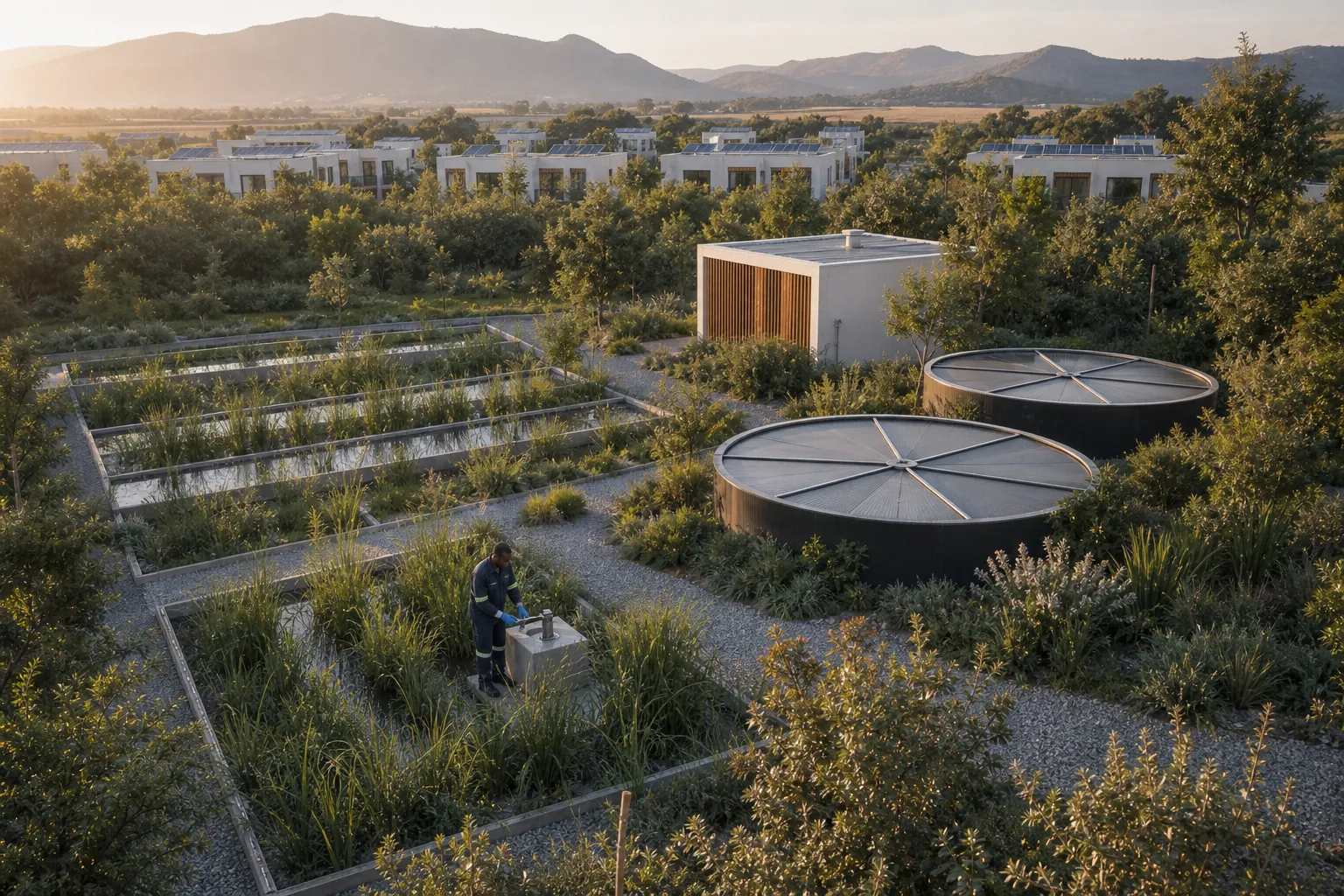
09On-site water treatment
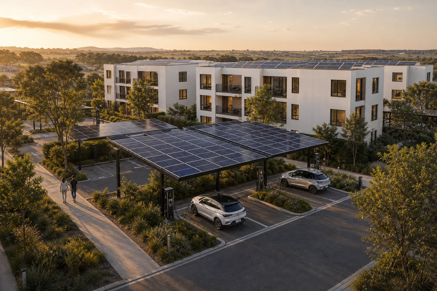
10Solar energy
Take it further
Bring us a site.
Integrated development is set per site — its land, its bulk services, its planning conditions and its market. Send us the parcel and we will work the layout against it.